

Le Broc
Auvergne-Rhône-Alpes, Puy-de-Dôme
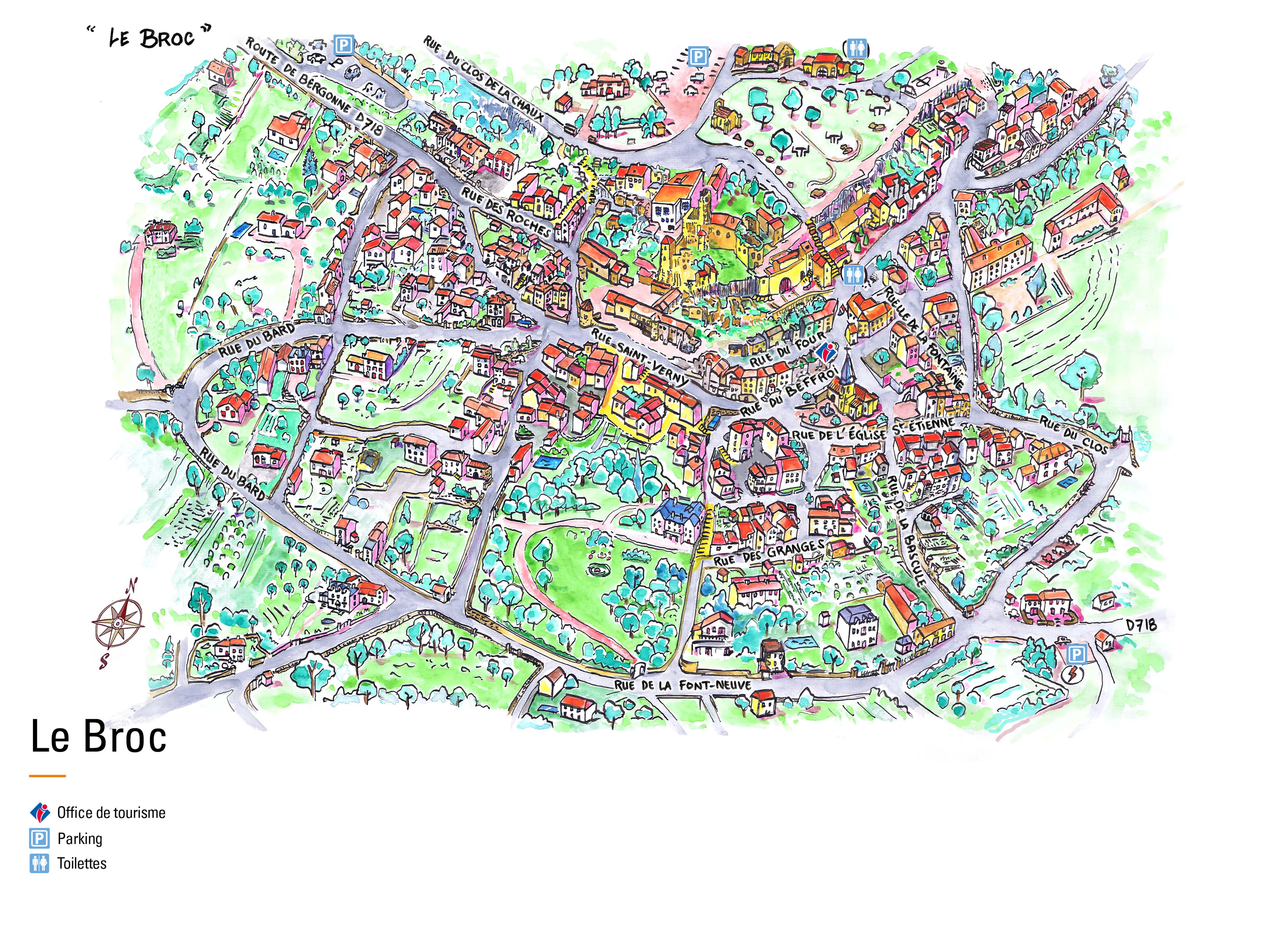
Le Broc, Petite Cité de Caractère®
Le Broc is designated Petite Cité de Caractère®. As such, it forms part of a national project aimed at promoting and protecting the architectural heritage of little towns across France. Through tourism, the initiative encourages visitors to embrace the local culture by strolling through the streets, learning about the history of the area, taking part in local events, and discovering the local way of life. In Puy-de-Dôme, there are several Petite Cité de Caractère® little towns to discover. The digital map will help you navigate each of them and highlight their main attractions.
Presentation
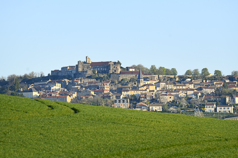
The square tower and its curtain wall
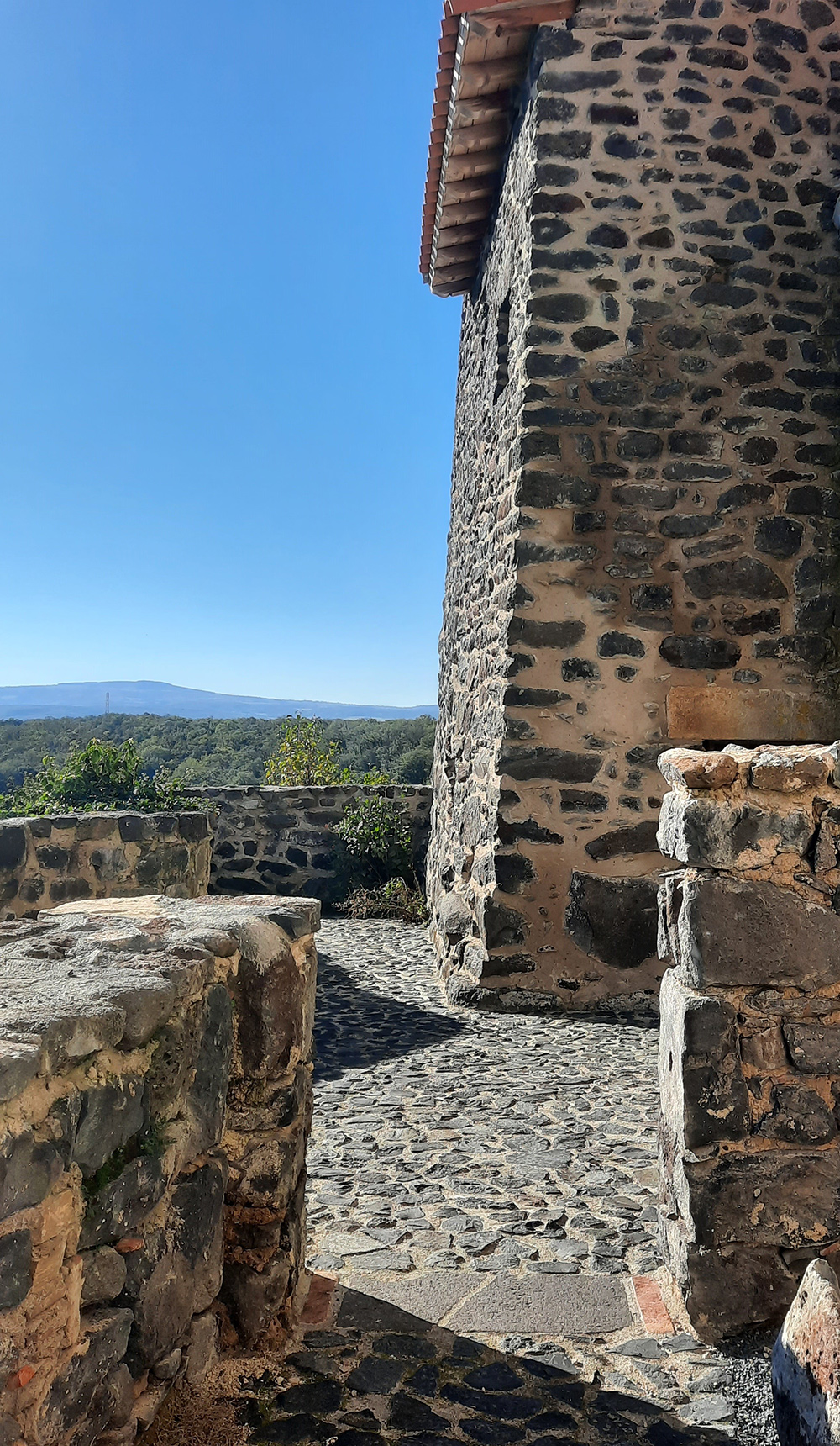
You are in the oldest part of the castle. Until the 14th century, the territory belonged to the Broc family. In 1304, Dauphine du Broc brought the lands by marriage to Bertrand de la Rochebriant. In the early 15th century, they passed by marriage to the Murol family, who held them for 150 years. In 1541, the territory was elevated to a barony and the château passed to the Montmorin family. Heavily altered in the 16th century, it retains only the square keep, emblematic of the medieval enclosure. Completely rebuilt and restored in 2016 to its original state, the keep has a large arrow slit on the north façade and small openings to the east. It overlooks the fortified village, currently under renovation, and offers magnificent views. The curtain wall leading to it runs along three terraces, bases of former towers; the first may have housed the castle chapel, once topped by a bell tower.
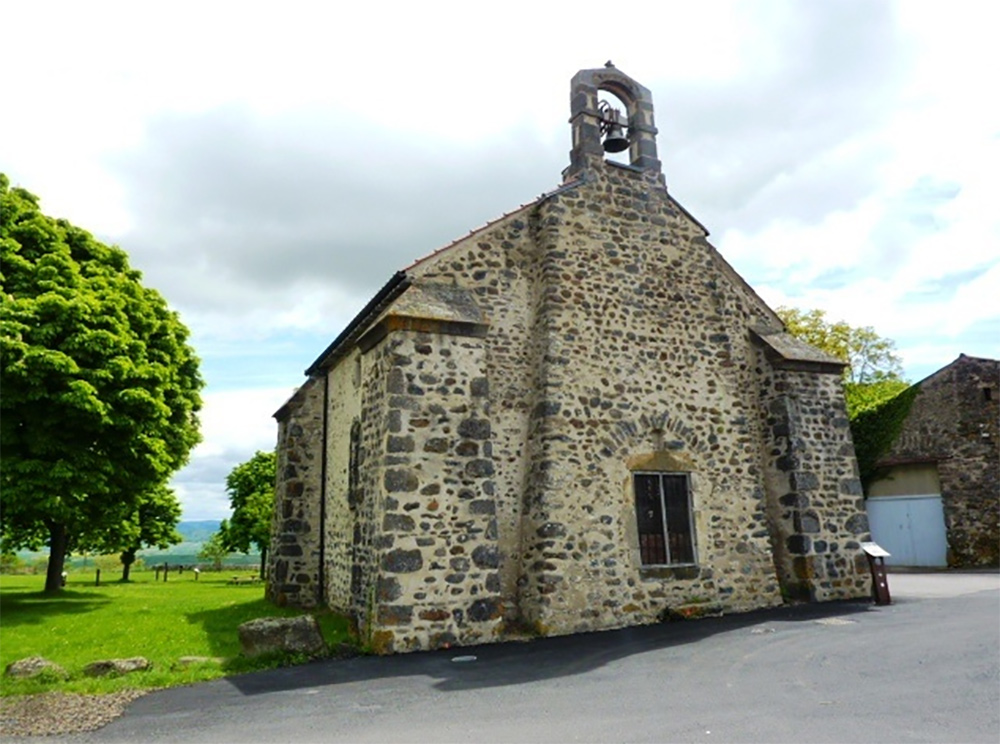
Notre Dame de la Chaux Chapel
You are in the oldest part of the castle. Until the 14th century, the territory belonged to the Broc family. In 1304, Dauphine du Broc brought the lands by marriage to Bertrand de la Rochebriant. In the early 15th century, they passed by marriage to the Murol family, who held them for 150 years. In 1541, the territory was elevated to a barony and the château passed to the Montmorin family. Heavily altered in the 16th century, it retains only the square keep, emblematic of the medieval enclosure. Completely rebuilt and restored in 2016 to its original state, the keep has a large arrow slit on the north façade and small openings to the east. It overlooks the fortified village, currently under renovation, and offers magnificent views. The curtain wall leading to it runs along three terraces, bases of former towers; the first may have housed the castle chapel, once topped by a bell tower.
Carved stones of La Chaux
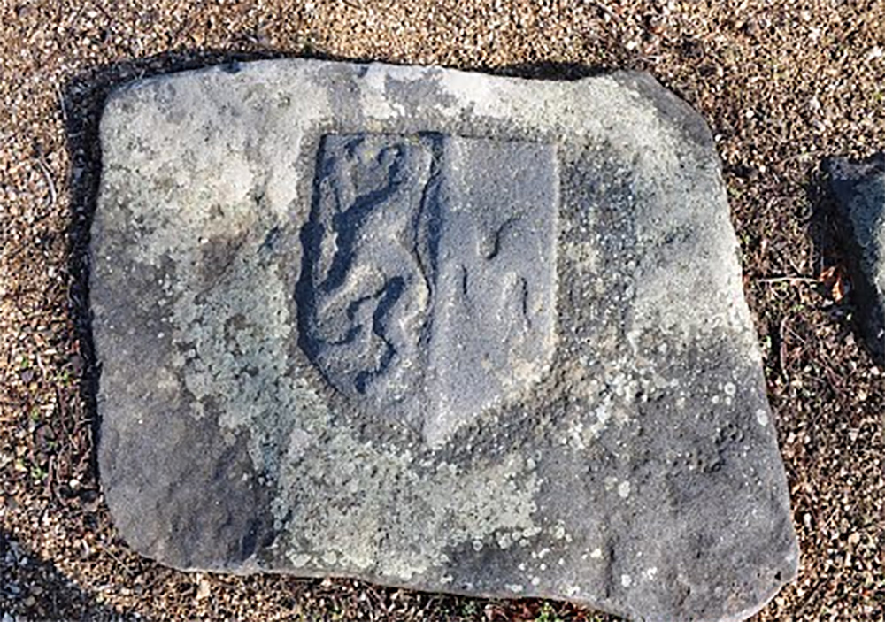
At the centre of the plateau lie carved stones of unclear origin — probably heraldic pieces or the work of apprentice stonemasons. They bear the arms of two powerful Auvergne families, the Montmorins and the Murols, whose marriage dates them to after 1559, as well as a resting horse, a slender lion, a medieval-style recumbent tomb figure and a satyr mask, a half-human, half-animal Renaissance motif. The view takes in the Limagne, the Allier River and the rocky peak of Nonette. Halfway up the slope, the Loubaresse dolmen attests to Neolithic settlement; in the plain, a milestone marked a Roman road; the Chauliac commandery, Civerac and Grezin housed Merovingian aristocratic residences. In the 12th century, monks cultivated a vineyard on the slopes, its wine shipped down the Allier to Paris. The 19th century brought wine-driven prosperity, destroyed by phylloxera and the two world wars.
Seigniorial Staircase and Gardens of Legends
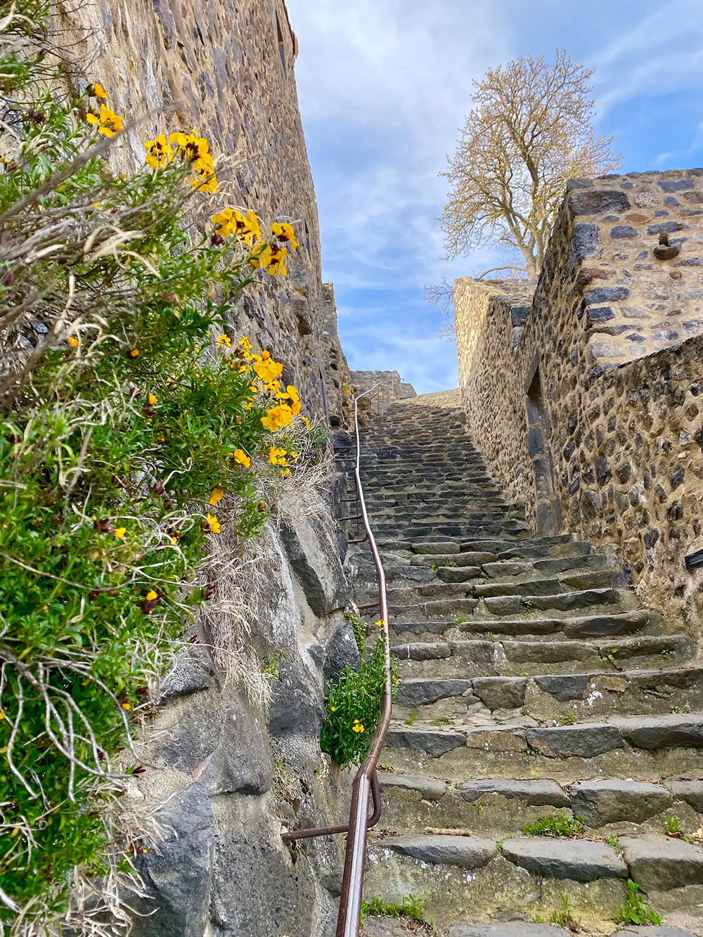
The foot of the Chaux plateau and the lords' staircase were home to various shops. Explore the terraces of the Garden of Legends, which lead to troglodyte cellars, terraces and a medieval oven.
The Rampart
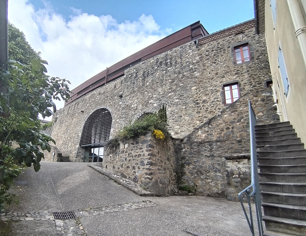
Marking the entrance to the village fort, the rampart is located at the foot of the fortifications and was built when castle construction began. Built directly into the rock, the dimensions and architectural style of the two adjoining vaults suggest that they may have been used to store wine by the lord of the castle, the upper floors of which have disappeared. Between feudal times and the 19th century, the ramparts provided access to the fortified quarter. Since then, the ramparts and terraces have been restored, reconnecting the fort with the rest of the village. These enhancements have permanently anchored the ramparts in the 21st century, transforming the former castle outbuildings into a cultural space.
Old Village Fort
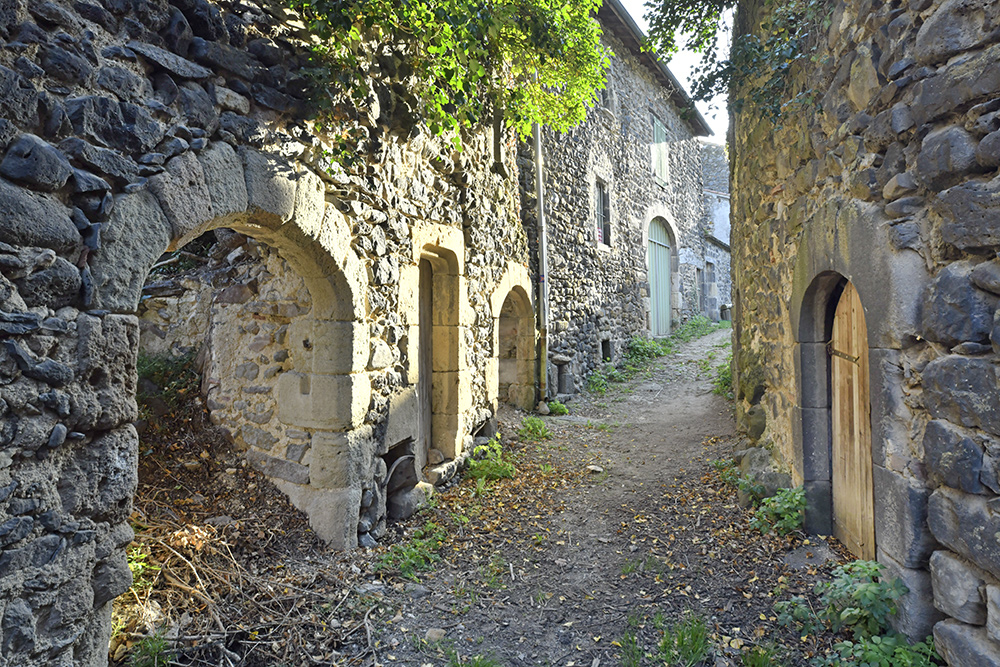
Around 1500, Le Broc was a major market town under the provostship of Nonette. The village was destroyed during the Wars of Religion; in 1546, a college of clerics was founded nearby. The village fort, once a busy residential area, was deserted in the 19th century, only its cellars still used to store wine. Overgrown with vegetation, it ceased to be the beating heart of the village, but is now being renovated. Its buildings were mainly winegrowers' houses of one or two storeys with an attic and a wine cellar. The municipality and volunteer residents are clearing vegetation to secure and preserve this heritage. Up Rue du Four, on the right, a communal oven in perfect condition, uncovered during recent clearing, will regain its wall and roof. Rather than restoring the ruins to their original state, the aim is to make the village fort a focal point, preserved and part of a walking tour.
The church and the tombstone of Pardinel
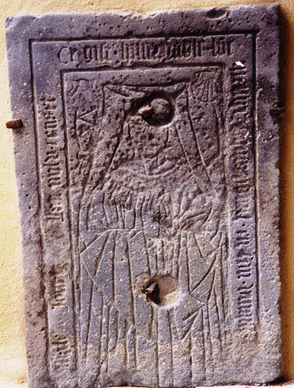
Notre Dame de l'Assomption is a Romanesque church founded in the 16th century following the destruction of part of the town during the French Wars of Religion. Subsequently, it underwent significant modification. The tombstone of Jacques Pardinel, who founded a college of canons in 1546, is located under the porch. Scallop shell motifs adorn the corners. The church consists of a barrel-vaulted nave with three bays, each of which opens onto a small chapel. A modern octagonal bell tower rises above the structure. Several of the stained-glass windows, which date from 1872, are by Antoine Champrobert, master glassmaker from Clermont-Ferrand.
Fort Gate
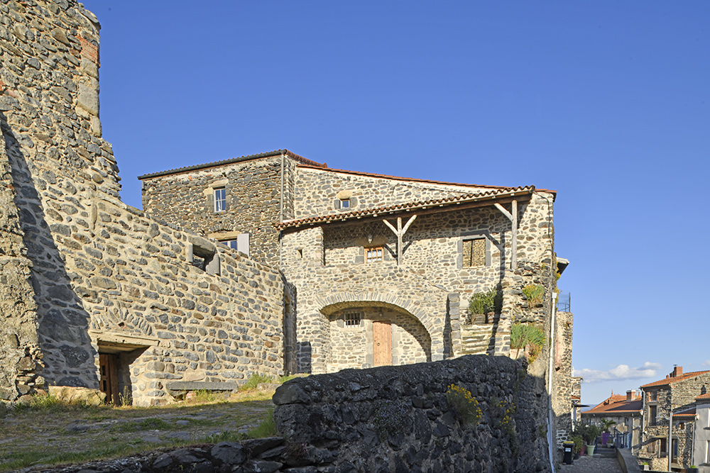
A small, paved slope marks the location of the fort's entrance. In the Middle Ages, the villagers' representatives negotiated a charter with the lords, setting out the rights and duties of both parties which granted the village community relative autonomy. Nevertheless, custody of the keys to the main gate was a regular source of conflict. The fort was built on the southern and western slopes of the plateau de la Chaux, leaving the nearby church outside the enclosure. Evidence of watch duties suggests the village enclosure existed as early as the 13th century. The west façade of the castle is visible from the fort gate. The western curtain wall is relatively well preserved and features several openings added subsequently. The wall is protected by two rectangular towers and the whole enclosure is built on solid rock.
Whitewashed House
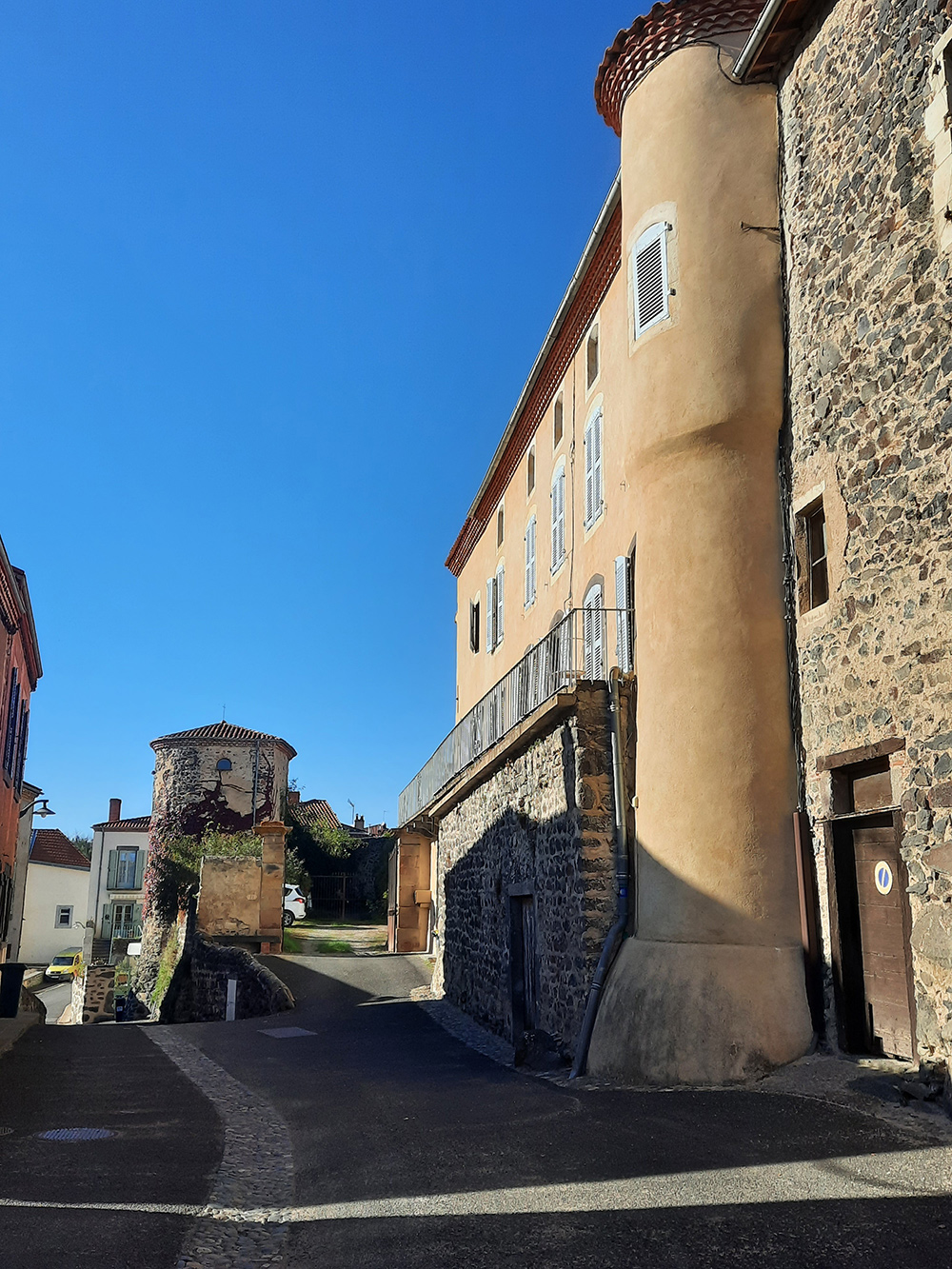
The steward's residence is easily recognisable owing to its distinctive winegrowers staircase and the slender circular tower situated at the corner of the building. The site has been modified in modern times and now no longer features any military components.
Feudal Tower
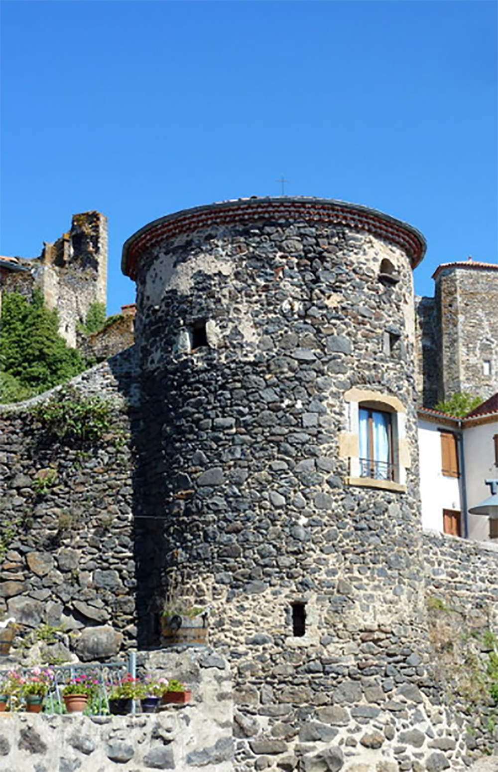
Along the imposing wall of the fortified quarter, a corner tower comes into view. The south tower is one of the few recognisable elements of military architecture remaining of the ramparts in their current state. It no longer features a bell tower and has instead been fitted with a canal tile roof. The tower has also been used as a dovecote. Several fairly large vertical windows correspond to drawing by Revel from the 15th century.
Rock Trail and Orientation Table
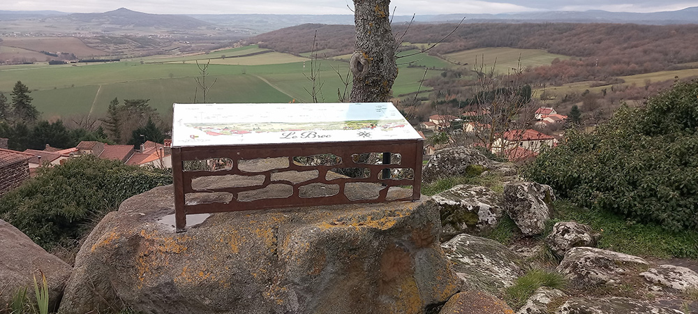
To the right of the tower, stairs lead to the rock trail. This rocky climb takes you to plateau de la Chaux. During the climb, the square tower can be seen from its base. Attached to the corner of the tower is a turret that corresponds to the former latrines. From here, there is a view of the castle and the village just before you reach the viewpoint at the top of the path, from where the Sancy Mountains are visible. Depending on the time of year, they may be covered in snow, or showing signs of spring, or tinged with green, yellow and red. Each new season brings a different and unique landscape.

Ce projet de carte interactive est porté par les associations Petites Cités de Caractère® de France, Petites Cités de Caractère® en Auvergne Rhône Alpes Petites Cités de Caractère® du Puy-de-Dôme et par la commune de Le Broc.
Il est soutenu financièrement par la convention FNADT du Commissariat Massif Central, et par l'appel à projet "patrimoine et numérique" de la Région Auvergne Rhône-Alpes, et par la Fondation d’Entreprises du Crédit Agricole Centre France.
Le plan de la commune (visuel de fond) a été réalisé par Lemoineau.
Les traductions en anglais ont été réalisées par Kim Spychalski.
Les voix ont été produites et enregistrées par Marie Léger (version française), Tamara Souverain (version anglaise).
Les photos ont été produites et réalisées par Julie Baudin et la mairie de Le Broc. Les photographies réalisées par Julie Baudin ont été subventionnées par le Conseil départemental du Puy-de-Dôme. Les vidéos ont été produites et réalisées par Petites Cités de Caractère®.
Conception et développement de la carte interactive par Tabula Rasa.





Ce projet de carte interactive est porté par les associations Petites Cités de Caractère® de France, Petites Cités de Caractère® en Auvergne Rhône Alpes Petites Cités de Caractère® du Puy-de-Dôme et par la commune de Le Broc.
Il est soutenu financièrement par la convention FNADT du Commissariat Massif Central, et par l'appel à projet "patrimoine et numérique" de la Région Auvergne Rhône-Alpes, et par la Fondation d’Entreprises du Crédit Agricole Centre France.
Le plan de la commune (visuel de fond) a été réalisé par Lemoineau.
Les traductions en anglais ont été réalisées par Kim Spychalski.
Les voix ont été produites et enregistrées par Marie Léger (version française), Tamara Souverain (version anglaise).
Les photos ont été produites et réalisées par Julie Baudin et la mairie de Le Broc. Les photographies réalisées par Julie Baudin ont été subventionnées par le Conseil départemental du Puy-de-Dôme. Les vidéos ont été produites et réalisées par Petites Cités de Caractère®.
Conception et développement de la carte interactive par Tabula Rasa.